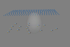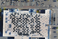
With a mini-UAV ( Unmanned Airborne Vehicle ) a trace or fully opaque area can be overflown and photographed. The digital images have a ground resolution between 2 and 30 cm, depending on the altitude. The position and orientation of each photo are recorded.
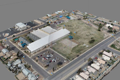
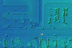
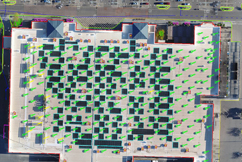
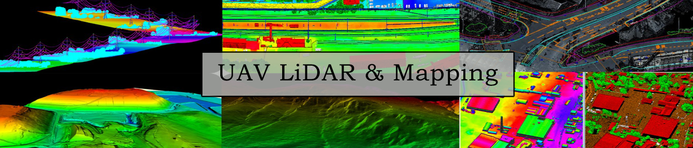
Ortho Mosaic : A coverage area in map projection DEM (Digital Elevation Model ) : A 3D display of terrain elevation Both products can be combined to form a photo-realistic 3D display of the recorded area .