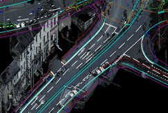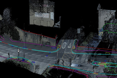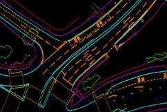
Mobile LiDAR is a mobile mapping system that uses a scanner attached to a vehicle to collect dense, accurate and feature rich data while on the road. Being able to collect data quickly and effectively in urban settings is one of the key benefits of mobile LiDAR . It can provide highly accurate topographic survey results that can be used for 3D visualizations, modelling and other project needs.