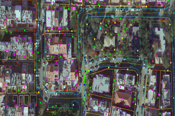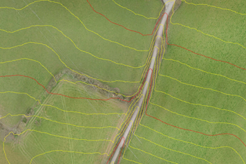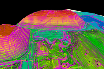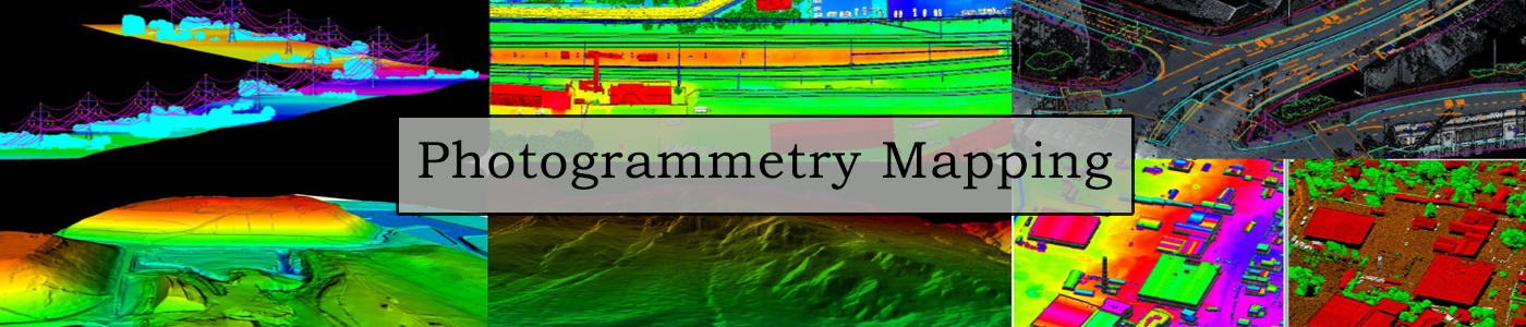
DSM and its partners offer Aerial Photo Mapping Services in International customers for all applications and across all terrains and areas from small city areas to large multi-state areas . DSM also offers a full range of Digital Photogrammetry Mapping services.
DSM performs Photogrammetry services from both Aerial photographs, UAV/Drone and stereo Satellite images for all the latest Aerial and Satellite Photography sensors.