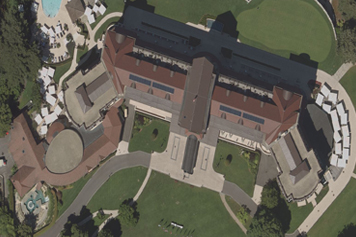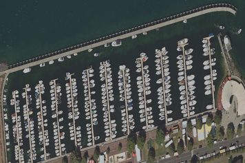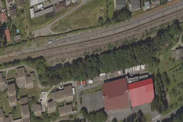
DSM has proven experience in offering Orthophoto Production services and has successfully delivered projects that require Thermal Imagery Processing , RGB & CIR Orthophotography , and Black & White Orthophotography. Orthophoto allows precise calculations of Planimetric distances with real-life representations of the ground areas being measured.
As well as Orthorectification allows elements such as roads, plan views of buildings, railway lines, woodland, rivers, and lakes etc. to be accurately positioned in two-dimensional maps. Digitization and analysis then mean different cartographic layers and filters can be applied with consistent scale and geometry.