
Infrastructure
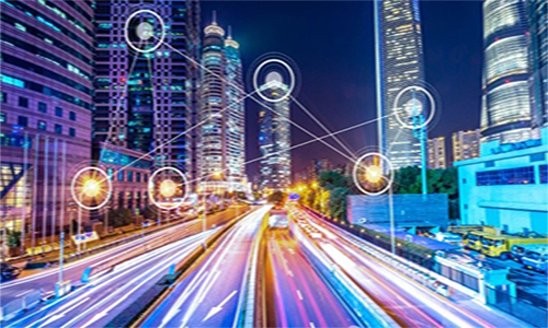
DSM provide LiDAR data to identify safe locations for energy infrastructure by analyzing terrain parameters and identifying and evaluating geologic hazards and their potential public safety effects on the location or design of infrastructure.
The Geospatial information and technologies make it easier to discern and understand the precise location of every facet of infrastructure, from what’s underground to what’s overhead.
Environment
LiDAR allows simultaneous measurement of topography, aboveground vegetation, human infrastructure, and snow/ice, it also help to map forests, track sea level change, and possibly save lives in a natural disaster.
Through GIS we identify human impacts on environment and support for the utilization by collecting data from the land cover, vegetation, soil and geology which are the parts of environment and then they are mapped using GIS technology. We help to identify current problems of climate change, habitat loss, population growth, pollution etc.


Agriculture
DSM provides LiDAR technology which is instrumental in developing 3D models of farmland and helps come up with accurate maps of the natural resources around that area. With this data, the farmer can then be able to discern the exact terrain of the farm and identify the water catchment area and the flow of erosion.
The GIS technology provide mapping of ground water resources, drainage pattern, variable rate application and management of fertilizers, pesticides to increase yields, managing resources, prediction of outcomes and improving farm practices.
Power
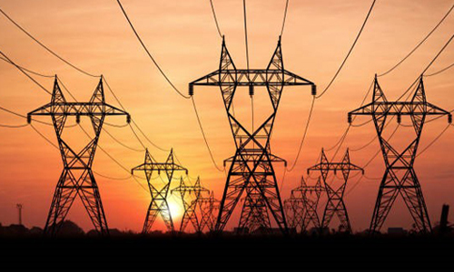
DSM use LiDAR technology to obtain the power line corridor point cloud and get the high precision of 3D spatial information, then obtain the whole information of the 3D power lines corridor.
We provide the mapping through the various pieces of an electricity distribution system to improve customer service, provide outage management and more accurate data through Geo- spatial technology.
Oil & Gas
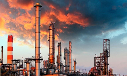
DSM use LiDAR technology in the oil and gas industry to locate locations suitable for placing pipelines and drilling locations. The use of LiDAR derived slope angles, digital elevation models and flow accumulation models will become a valuable tool in the exploration for oil and natural gas.
The Geo-spatial technology provides advanced mapping for oil and gas to increase optimal efficiency through rich location intelligence and to manage network assets.
Land Management
The LiDAR technology helps in land resource survey in following aspects: Land surveying, censuses, exploration and exploitation of mineral resources, monitoring and early warning of geological disasters, etc.
We provide GIS technology that opened up wide range of avenues for effective land use and land cover mapping. Where Land cover includes natural features like, water, snow, grassland, forest, and Soil and land use includes agricultural land, built up land, canal.
.

Forestry
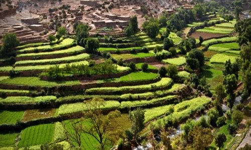
DSM provide LiDAR data to generate predictions of forest structure and wood fiber attributes across the landscape. It also helps to record dense array of distance return values which are assembled into the highly detailed 3D reconstruction of the surfaces.
Geo-spatial technology use to provide timely and extensive spatial data from which forest attributes can be derived, such as land cover, forest structure, species composition and condition, heat island effects, and carbon storage.
Risk Management
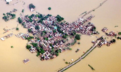
DSM uses LiDAR to generate detailed maps of topography and retrieve digital elevation data. Use of LiDAR in disaster response is gaining ground since visualization of the point cloud data allows emergency responders to easily identify areas most affected by a calamity. The data gathered through LiDAR is used for mapping the storms’ flood inundation, modeling storm surge, evaluating topographic changes, among others, to provide insights and support for decision in all aspects of integrated disaster, risk and crisis.
.
Mining
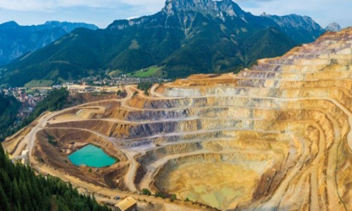
LiDAR scanning techniques are used in engineering surveys because of its high accuracy, timeliness & safety. DSM provides LiDAR to create 3D surface model of mining area.
We provide GIS mapping to identify target sites for drilling, mine planning and development, thought to decommissioning and reclamation.
GIS mapping to identify target sites for drilling, mine planning and development, thought to decommissioning and reclamation.
Telecom
LIDAR technology has emerged as an alternative to the traditional method of using digital orthophotography to derive footprints and elevations of telecom industry. Its ability to produce high resolution databases and sub-meter accuracies has advantages and disadvantages for telecom planning.
We provide GIS mapping to help automate business processes and increase the efficiency of operation.
.


Transportation
LiDAR is a remote sensing technology for road information. It is a solely a 3D laser scanning from a vehicular platform. This vehicular platform may be an air-craft, helicopter, or it may be a mobile van. It is used to assess road conditions.
DSM provides LiDAR which enables the possibility of acquiring 3D information of large area roadway with survey grade accuracy of high speed is opening new& effective way for road and transportation inventory.
GIS offer transport planners a medium for storing and analyzing data on population densities, land uses, travel behavior. It also includes highway maintenance, traffic modeling, accident analysis, and route planning and environmental assessment of road schemes.
Water Resource
LIThe GIS provides mapping of slope, land utilization pattern to predict whether the water in a given area is safe.
.
